Historical literature
Published accounts and historical place names provide context. Captured observations retain their source references so researchers can examine what was actually reported.
Reading the landscape, together
Tabula brings historical literature, old maps and LiDAR terrain data into one investigation workflow. We’re building it to connect evidence across sources, identify landscape features worth examining, and make the reasoning behind each lead easier to inspect.
The project
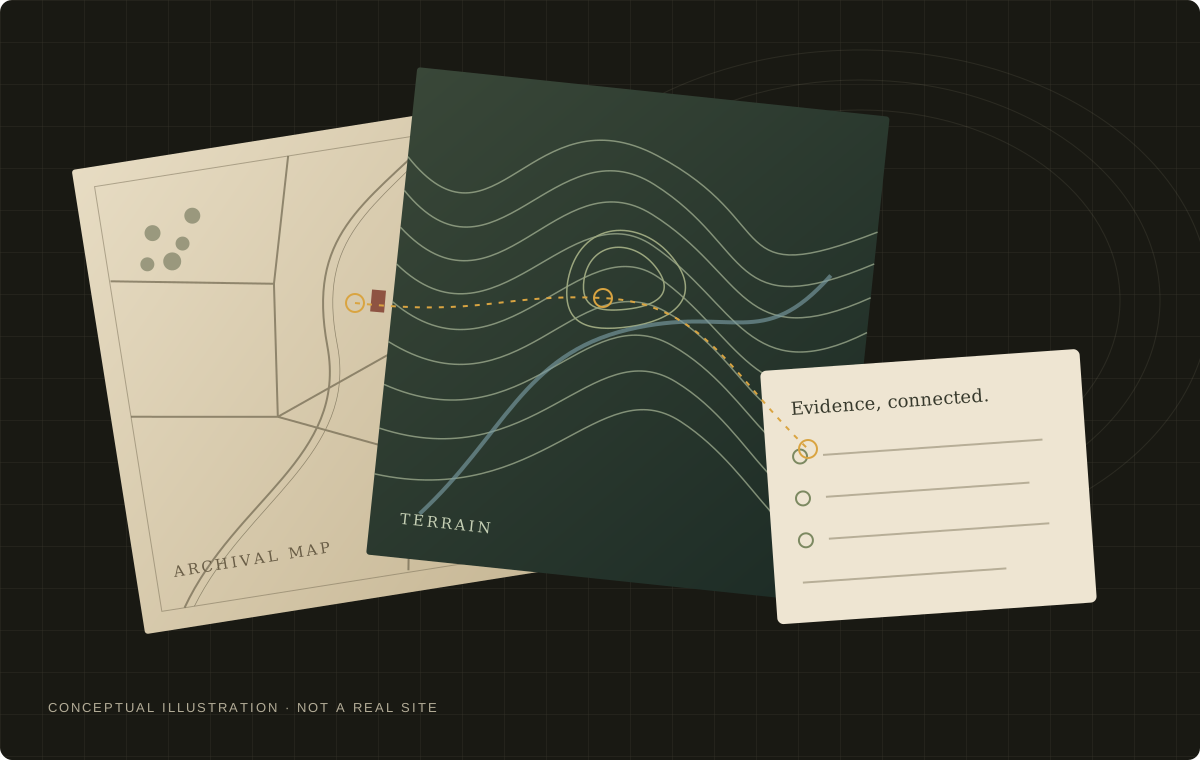
A passage in an old book. A boundary on a map. A subtle change in the ground. Tabula brings these sources into the same research workspace.
Published accounts and historical place names provide context. Captured observations retain their source references so researchers can examine what was actually reported.
Earlier maps help researchers compare the landscape over time, examine recorded features and consider whether later activity could explain what survives.
LiDAR-derived terrain and imagery help identify landscape features worth a closer look. A shape can suggest a question; it cannot establish a date or origin.
The method
Our starting region is eastern Belgium. The aim is a small, defensible set of places worth investigating, with the reasoning open to inspection.
Bring captured observations and their references together. Shared or copied sources should not become separate votes.
Compare physical features with maps, nearby records and geographic context. Consider natural and later explanations as well as archaeological ones.
Record support, conflicting evidence and what remains unknown. Prioritize leads for further research without presenting a ranking as a calibrated discovery probability.
Human review
Researchers can open captured observations, inspect the evidence behind a lead and record sourced interpretations. Assessments can be revised as evidence changes. Field observations and appropriate expert assessment are essential to deciding what a feature actually is. Tabula does not present unverified leads as confirmed discoveries.
The people
Luis is building Tabula with his brother, Jakob. The project brings their interest in history and landscapes into a practical tool for connecting sources and documenting an investigation.
Work in progress
We distinguish what the tool can do from what the archaeology has established.
Available The protected workspace brings captured sources, map layers, terrain observations and inspectable site arguments together.
Available Source-reading jobs combine captured literature, historical maps and terrain into cited draft arguments, with explicit coverage gaps and a critical review against the original evidence.
In development Broader source coverage and evaluation against reviewed field outcomes.
We are not claiming confirmed discoveries or validated discovery probabilities. Public demonstrations and further updates will be linked here when available.
The research workspace is available to authorized project participants.